Beneath the Grange craters
On the western side of Vimy Ridge, the ground around La Folie was fought over twice: in the trenches and beneath them. French engineers began galleries under the front while their infantry held the ridge against German forces. British tunnellers took over the work in May 1916. By the following spring, their passages formed an interconnected system of fighting galleries, deep cross passages and a subway for moving troops towards the line. One chamber contained a mine prepared for the Canadian attack of 9 April 1917. It was never fired. Its later investigation, and the search for a neighbouring charge called Broadmarsh, led to the formation of the Durand Group.
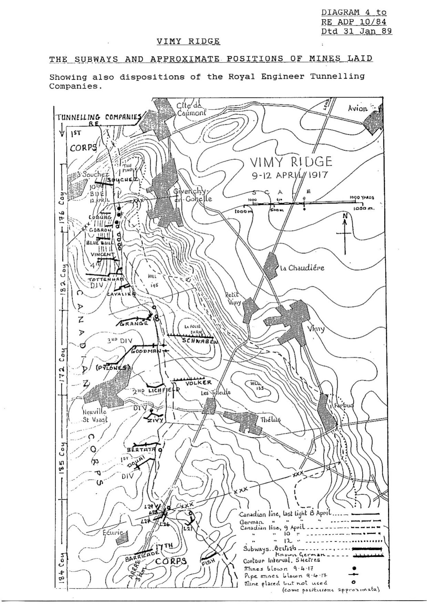
The ridge overlooked the approaches to Arras and the Douai plain. French attacks in 1915 had forced the Germans back onto its heights, but had not secured them. Around the Grange and Duffield craters, neither side could treat the surface front as secure while the other might tunnel beneath it. A mine could destroy a trench or observation post; a camouflet was a smaller underground explosion intended to damage an opposing gallery without necessarily making a surface crater. Each new crater could improve cover for one side while giving the other a new lip to defend.
French beginnings, British expansion
The French 15/6 Company of the 7th Engineer Regiment had already driven the gallery called P77N before 172 Tunnelling Company, Royal Engineers, assumed responsibility for this part of the La Folie sector on 22 May 1916. P77N was a contemporary working designation, not another name for the whole subway. Its branches ran towards the contested ground near Grange and Duffield; the chamber later called the Durand Mine lay at the end of its left branch. Other workings, including P76K, P77J and the J1 lateral, became part of the connected route. Grange, Duffield, Broadmarsh and Longfellow named nearby crater groups or proposed mines, not four independent names for this one chamber.
The fighting was immediate. A German explosion on 21 June shook P77N and partly filled its branches. Major G. A. Syme, commanding 172 Tunnelling Company, reported that German raiding parties followed the explosion but were driven back; no British miners were underground when it happened. His report describes both the fragile chalk and the close coordination between miners and infantry defending the newly formed crater lip. By early July the left branch had reached substantially the shape recorded in later plans. Another German blow damaged its right branch on 26 July. British charges fired from neighbouring galleries in August altered the crater field, while the miners kept reopening or extending positions from which they could listen for enemy work.
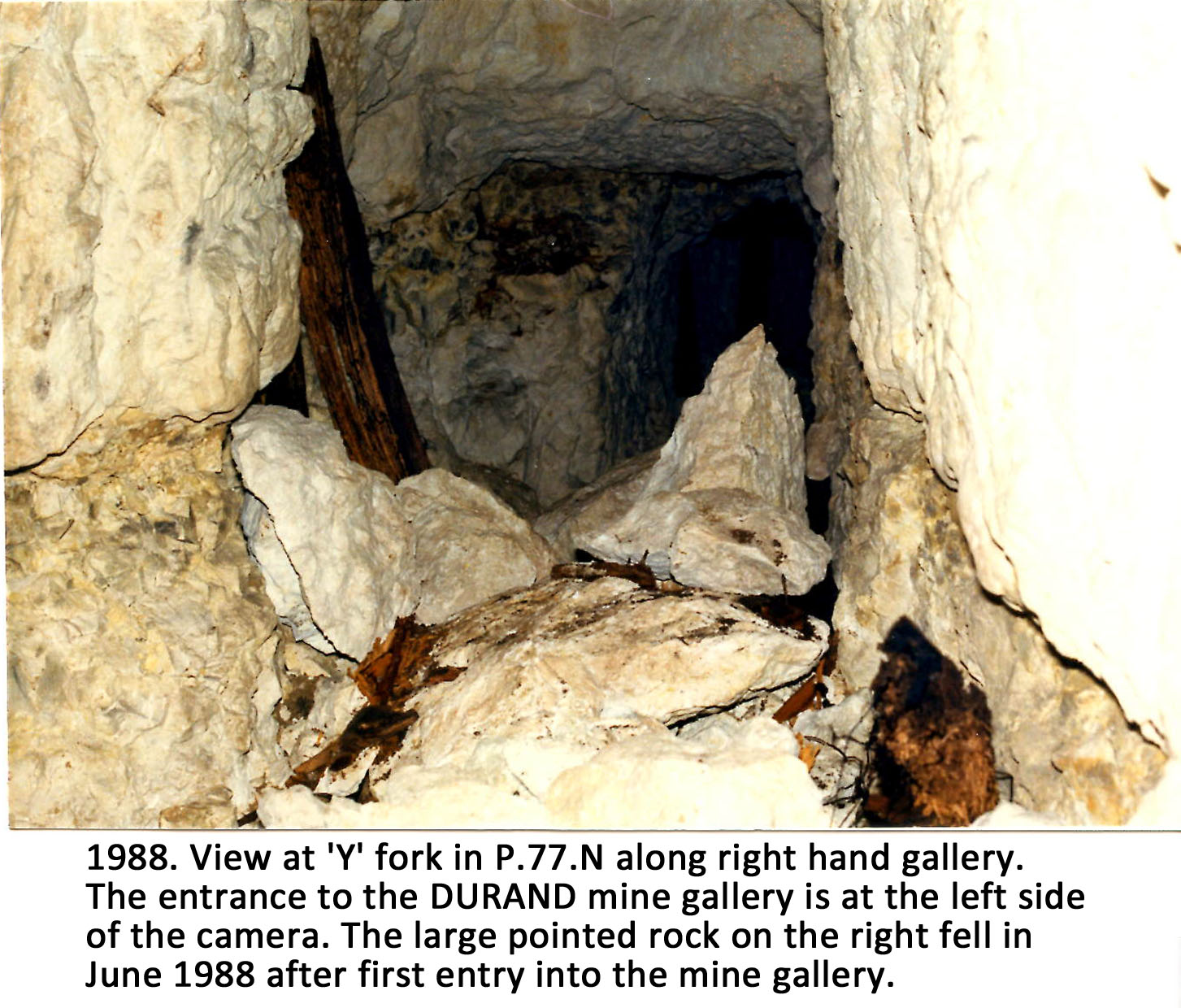
The network was more than a set of explosive charges. A deep lateral ran broadly along the front, joining workings and offering a protected underground defence line. The J1 passage linked the P76K and P77J workings; a staircase completed in January 1917 connected P77J with P77N. The surviving timber trolley rails in P77J show how supplies and spoil could be moved along an incline. Recesses for timber supports, fallen slabs of chalk and the different heights of adjoining passages show that construction and ground conditions varied markedly within the same system. Listening at the end of a gallery could warn miners of approaching German excavation. These details come from the wartime plan read alongside the later physical survey; an individual surviving cable or rail cannot by itself date every phase of use.
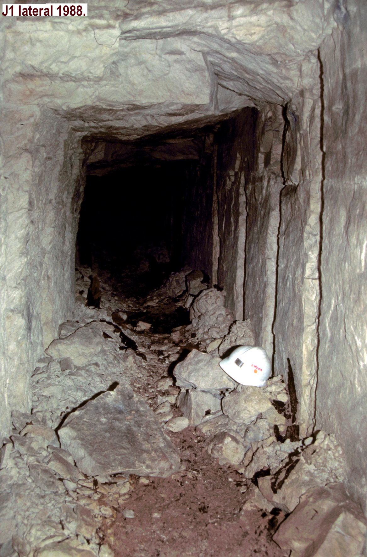
The surviving passages
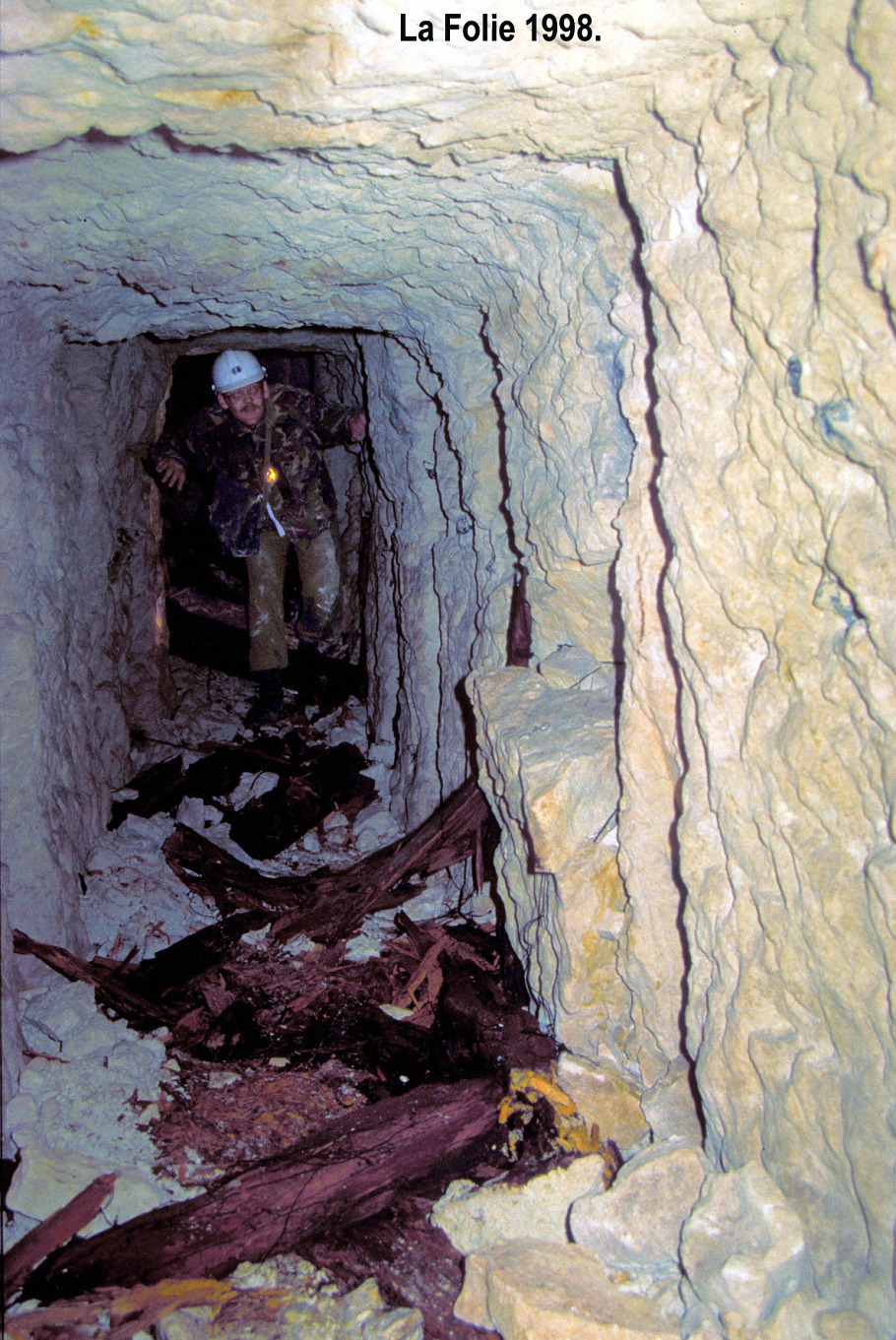
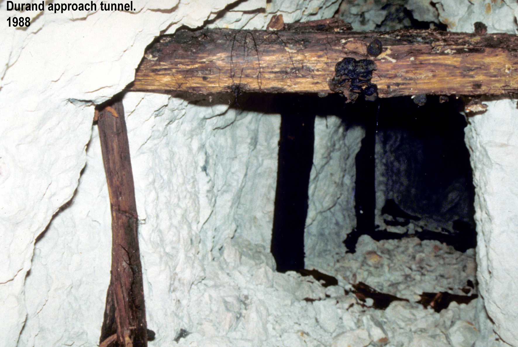
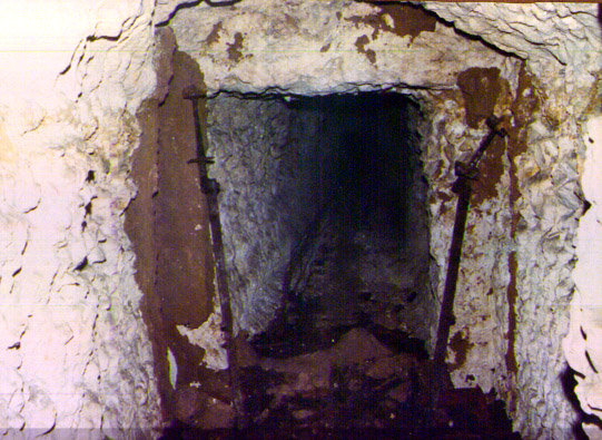
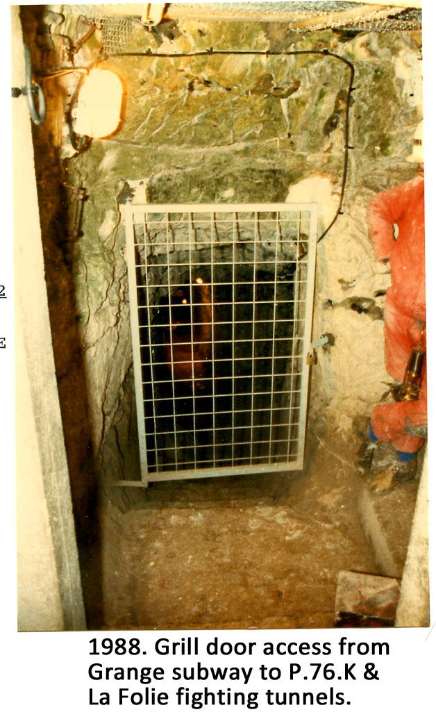
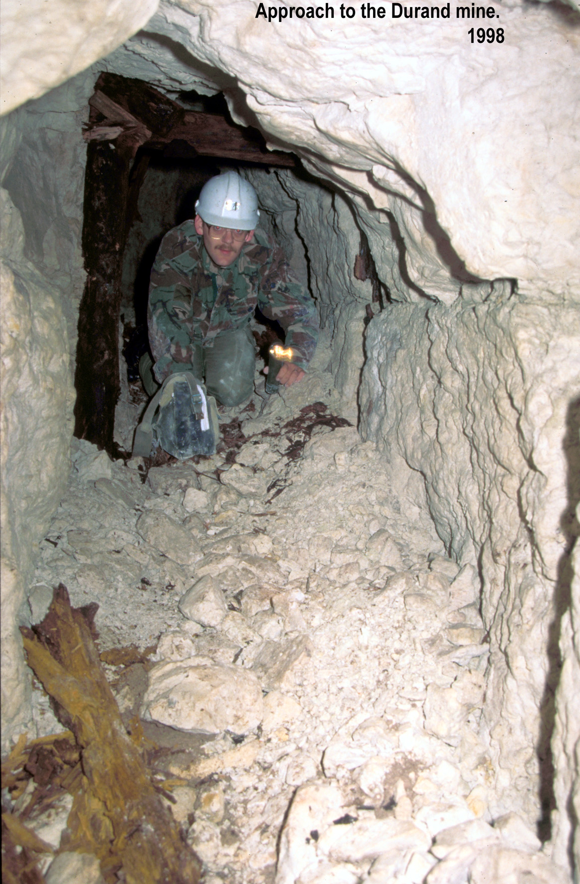
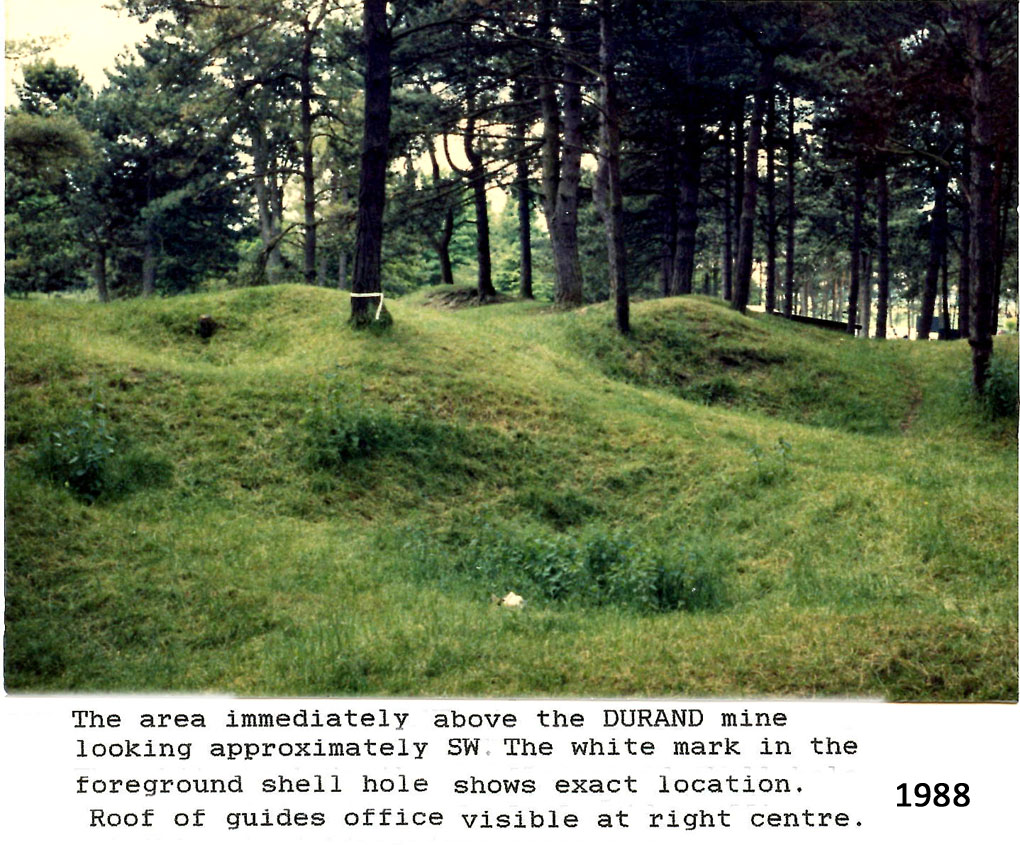
Swipe or scroll to see all photographs; select an image to enlarge it.
From fighting galleries to an assault subway
As the underground front became more stable in autumn 1916, 172 Tunnelling Company devoted increasing effort to protected approaches and dugouts. Work around a water point in November formed part of what became Grange Subway. Unlike a narrow mine gallery aimed at an enemy position, a subway was intended to move men and material towards the front while shielding them from shellfire and observation. The completed network included the Grange route, a telephone dugout, and chambers and side passages serving the approaching infantry. Plans also identify underground positions for trench mortars, opened to the surface for the assault. Grange was one subway among several on the ridge; Goodman and Lichfield were neighbouring systems, not branches of the Durand mine.
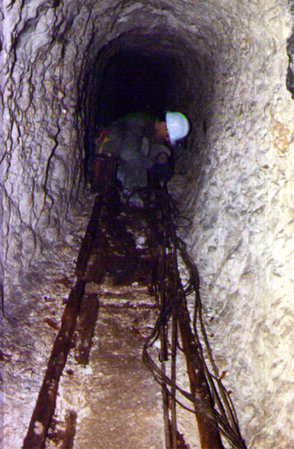
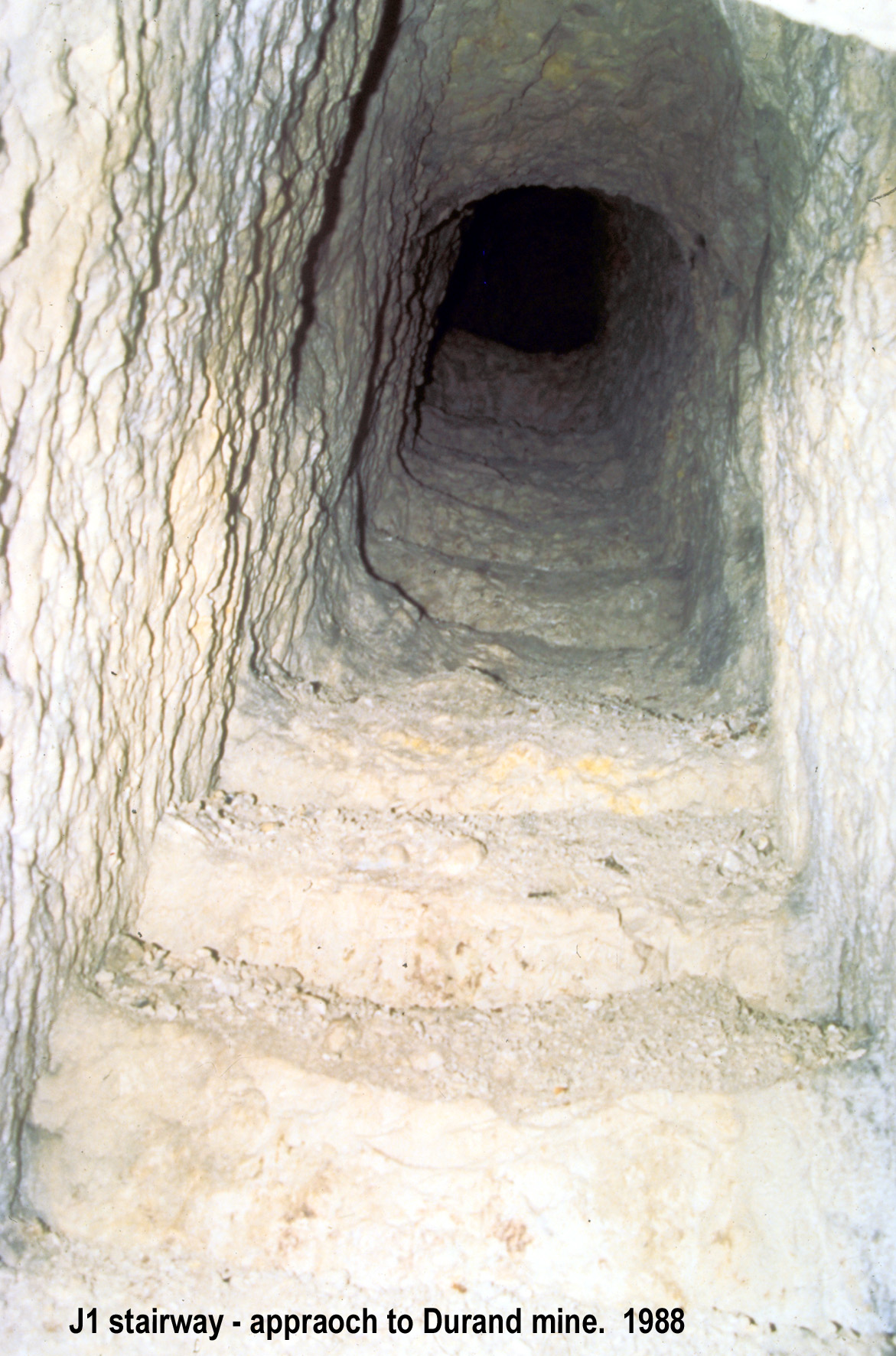
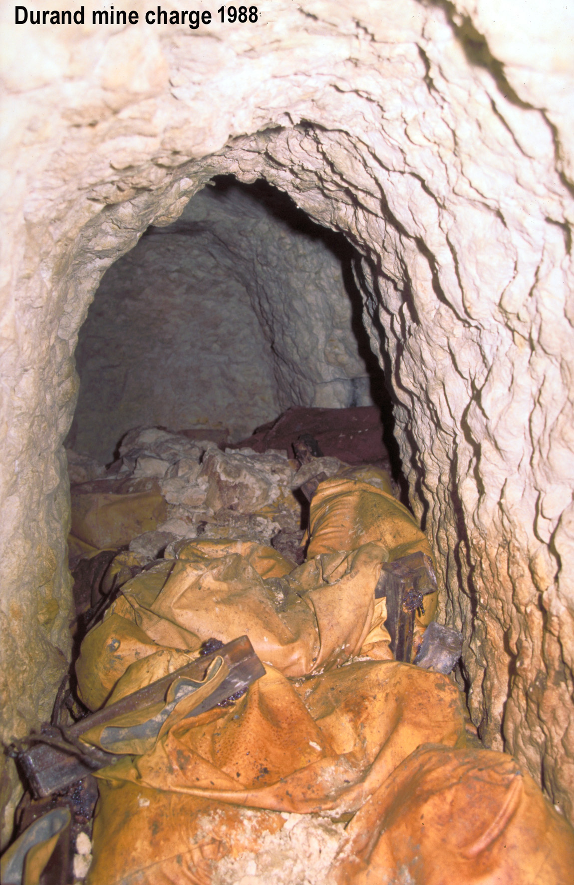
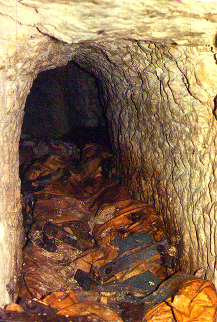
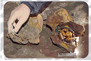
The mine chamber in P77N acquired a different purpose as plans for the April attack developed. The 1989 study interprets it first as a defensive charge held against German mining, then as one of two proposed fougasse mines in the Duffield–Grange group. A fougasse was placed to lift and bury a surface position rather than to create a conventional open crater. British plans for the assault proposed charges against German posts. The surviving chamber contained bags of ammonal, an explosive widely used by British tunnellers. Because the passage was not filled with the sandbags normally used to confine a fired mine, the study suggests it may have remained accessible for listening or attention to its firing circuit. That is an interpretation of the condition of the gallery, rather than a recorded instruction to use it as a listening post.
On 23 March 1917 German mines created the Longfellow crater group nearby and damaged a planned underground position associated with Grange. Their new craters threatened to obstruct the Canadian infantry’s advance. The proposed blows in the Durand sector were therefore cancelled: preparations for the assault had included the mine, but its explosion was judged counterproductive after the ground changed. On 9 April the Canadian Corps attacked the ridge as part of the wider Arras offensive. The Durand charge remained beneath a battlefield that had moved east. Men of 172 Tunnelling Company helped open routes through crater lips and inspect captured German works, then turned to other engineering tasks. The record does not establish that they returned to remove the charge.
A surviving wartime landscape
In the 1920s the preserved section of Grange Subway became part of the Canadian memorial landscape. The 1989 account records a short period of British military occupation of the accessible subway in 1940 and a subsequent German visit; it does not establish wartime reuse of the deeper mine chamber. The public subway and the old fighting galleries should not be confused. The former was conserved for visitors, while much of the deeper network remained cut off and vulnerable to fractured chalk, accumulated debris and poor air.
The charge was reported to memorial staff after an exploratory visit in 1985. In 1988 Lieutenant Colonel G. P. G. Robinson and other Royal Engineer specialists surveyed the passages, photographed the chamber and had a sample analysed. His report estimated an original filling of roughly 2,250–2,700 kilograms of ammonal. Water had leached much of one constituent from the sampled material, yet testing showed that a dry sample could still detonate. The report considered possible actions and recommended leaving the charge undisturbed with precautions at that time. It expressly stated that its conclusions required independent assessment. That recommendation was a statement of the evidence and options in 1989, not the end of the story.
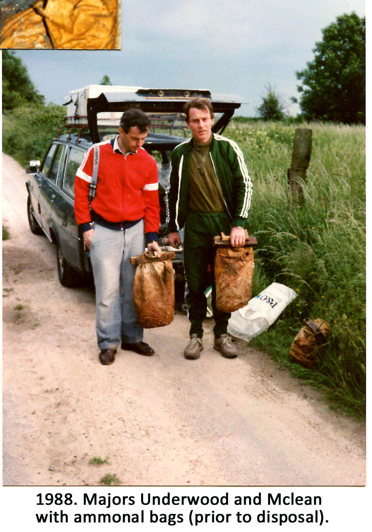
Further research drew attention to Broadmarsh, a separate, substantially larger unfired mine in the same wider battlefield. Robinson returned to Vimy in the 1990s. In October 1997 his team excavated the Broadmarsh mine and found explosive still present, but its initiation system had been removed. The search became the principal story of the documentary One of Our Mines Is Missing! (the linked video is a trailer). The film also takes viewers into another mine chamber. Broadmarsh must not be mistaken for the Durand charge in P77N.
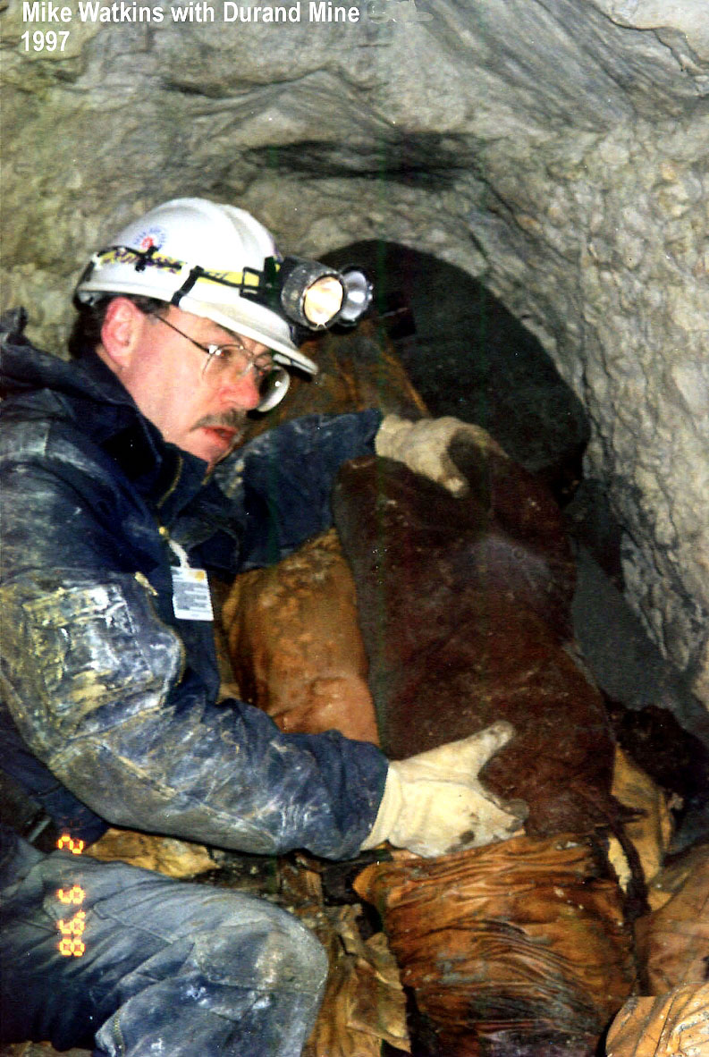
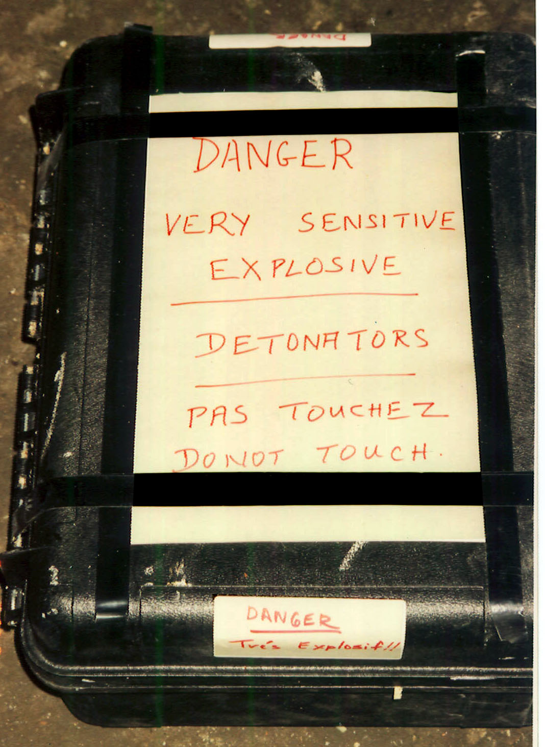
Attention then returned to Durand. According to the Group’s account of its origins, further examination in February 1998 found that explosive beneath the charge’s degraded outer layers remained effective. Lieutenant Colonel Mike Watkins subsequently removed its sensitive detonators and primers, making the charge safe without firing it. The 1997 photographs of Watkins in the chamber record a stage in this later work; their dates alone do not establish when neutralisation was completed. The Group also records making a smaller camouflet charge elsewhere in the La Folie system safe.
Robinson’s investigation of the Durand chamber and the later Broadmarsh operation brought together wartime plans, surviving tunnels and the expertise needed to investigate them. In 1998 Watkins proposed continuing that work through a specialist group. Its members chose Durand as their name. The passages preserve the longer history behind it: French beginnings, British mine fighting, Canadian assault preparations and the changing decisions about charges left beneath a battlefield that had moved east. What survives can still illuminate military history and inform current assessments of the ground, but the condition of any underground feature requires evidence from the time of the assessment.
The later investigation
Swipe or scroll to see all photographs; select an image to enlarge it.
Sources and further reading
- G. P. G. Robinson, The Durand Mine and First World War Tunnel System in the Grange Area of the Canadian Memorial Park, Vimy (31 January 1989), including its reproduced 172 Tunnelling Company plan, contemporary mine reports, annexes and photographs. Read the combined report, annexes and photographs (PDF, 19 MB).
- The Durand Group, “Our History”, for the 1997–98 investigations, the neutralisation of the Durand charge and the formation of the Group; One of Our Mines Is Missing! trailer, produced by fougassefilms, for the documentary centred on Broadmarsh. See also the Royal Geographical Society’s account of Phillip Robinson.
- 172 Tunnelling Company, Royal Engineers, war diary (1916–17), cited and quoted in Robinson’s report. The supplied material identifies an earlier Public Record Office reference, WO 94/244; a current item-level catalogue link has not been independently verified.
- British Army Inspector of Mines, report on tunnelling support for 9 April 1917 (30 July 1917), cited by Robinson as WO 158/138; First Army mining summaries, WO 158/198; Canadian Corps assault scheme (19 March 1917), cited as WO 158/424. These are references recorded in the supplied study, not claims that the underlying files were separately examined for this article. See The National Archives’ guide to First World War army records.